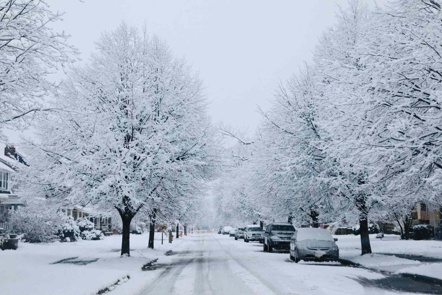
Every year, America asks the same dramatic question with the same dramatic energy usually reserved for playoff football and whether the grocery store is dangerously low on bread: Will this be the winter? The one with frozen windshields, epic snowbanks, and neighbors suddenly becoming amateur meteorologists because they saw three geese flying south in a suspiciously organized V-shape.
For the season ahead, the honest answer is not a cinematic “yes” or a smug little “no.” It is much messier than that. The earliest official clues do not point to a coast-to-coast deep freeze or a guaranteed blockbuster snow season for the entire United States. Instead, the broadest signal suggests a mixed winter pattern: one that could be stormier across parts of the South if El Niño develops as expected, less consistently brutal in many northern areas than the phrase “frigid winter” implies, and still perfectly capable of delivering short, sharp, memorable cold snaps that make everyone regret putting off the furnace check.
In other words, forecasters are not currently shouting, “Prepare for one giant national snow globe.” They are saying something more nuanced, more scientific, and far less likely to fit neatly on a coffee mug: watch the evolving pattern, especially the Pacific.
What the Forecast Really Says Right Now
The most important thing to understand is timing. Seasonal winter forecasting in early spring is more like reading the first chapter of a mystery novel than skipping to the final page. Forecasters can see some plot points forming, but not the full twist ending.
At this stage, the official U.S. outlook leans on long-range climate signals, not on exact storm-by-storm forecasts. That means forecasters are looking at big-picture ingredients like ocean temperatures in the tropical Pacific, drought conditions, soil moisture, and snowpack. These ingredients can load the dice toward a winter that is wetter, drier, warmer, or colder than average in certain regions. What they cannot do months in advance is promise that Chicago gets 42 inches of snow, Boston gets walloped twice in January, or Dallas turns into an ice rink on the second Tuesday after New Year’s.
That last point matters. Seasonal outlooks deal in probabilities, not guarantees. They do not tell you what happens on one wild weekend in February. They tell you which broad pattern is more likely over the full season. So if you are looking for a confident, coast-to-coast forecast that says “yes, a frigid and snowy winter is coming for everyone,” you are going to be disappointed. The early guidance simply does not support that.
Why Spring Forecasts Always Come With an Asterisk
If long-range winter forecasts sometimes sound careful to the point of comedy, there is a reason. Meteorologists know spring is a troublemaker. Climate models often struggle during this time of year because the Pacific can be in transition, and the atmosphere has a habit of acting like it did not receive the group text.
This is why you will hear forecasters mention the spring predictability barrier. It is not a made-up excuse invented after a bad forecast. It is a real limitation in climate prediction that shows up when forecasters try to determine how El Niño or La Niña will evolve later in the year. Translation: the broad signal may be useful, but confidence is lower now than it will be in fall.
So yes, the current outlook is valuable. No, it should not be treated like a final exam answer sheet. It is more of a smart early read on where the winter deck may be stacked.
The Big Driver to Watch: A Possible El Niño Return
The biggest clue in the room is the tropical Pacific. Forecasters currently expect the fading La Niña pattern to give way to neutral conditions, with El Niño becoming increasingly likely later in 2026. If that happens and the event strengthens in time for winter, it could shape the season in classic ways.
In many El Niño winters, the Pacific jet stream shifts south and stretches farther east. That often means the southern United States has a better chance of seeing wetter-than-average conditions, while parts of the northern tier lean warmer and drier on average. Notice the phrase “on average.” That does a lot of heavy lifting. A warmer-than-average winter is not a winter without cold. It can still include Arctic outbreaks, icy commutes, and the annual ritual of scraping frost off the windshield while questioning every life choice that led you outside before sunrise.
Still, if El Niño develops the way many forecasters expect, the early pattern argument is not for a relentlessly frigid national winter. It is for a split personality winter, with a more active southern storm track and a less convincing signal for all-season northern misery.
That also means “snowy” becomes a regional question, not a national one. A wetter southern track can increase opportunities for snow and ice in places that do not usually dominate winter headlines, but only if cold air shows up at the right time. Without that cold air, the atmosphere happily swaps your dreamy snow day for 41 degrees and cold rain. Nature can be rude like that.
Region by Region: Where the Winter Looks Most Interesting
South and Southeast
If the developing pattern holds, the South may end up with one of the most active winter stories. That does not necessarily mean endless snow. More often, it means more frequent storm systems, more soaking rain, and a higher chance of those borderline events where one town gets sleet, the next gets freezing rain, and the one after that gets a miserable 38-degree downpour that ruins everyone’s hair and attitude.
For the Gulf Coast, Tennessee Valley, southern Appalachians, and parts of the Southeast, this could be a winter of storminess over stillness. That matters for flood risk, travel disruptions, and occasional snow or ice threats when a cold shot lines up with moisture.
Mid-Atlantic and Northeast
This is where winter forecasts get spicy. The Northeast rarely accepts a simple seasonal script. A winter can average warm and still deliver a couple of headline-grabbing nor’easters. Coastal cities are especially sensitive to tiny shifts in storm track and temperature. Two or three degrees can turn a picture-perfect snowfall into sloppy rain that collapses your optimism in real time.
Right now, the early outlook does not argue for a nonstop freezer door left open over the East. A more reasonable interpretation is a roller-coaster winter: stretches of relative mildness interrupted by periods of real cold and the occasional well-timed storm. For snow lovers, that is frustrating but not hopeless. For people who hate winter, congratulations, you may still lose several weekends to it.
Great Lakes and Ohio Valley
The Great Lakes and Ohio Valley live in the meteorological equivalent of a knife fight when winter patterns get complicated. Lake-effect snow, storm tracks, Arctic intrusions, and warm-sector intrusions can all collide here. Early long-range signals do not scream “historic snowy winter” for this corridor, but they also do not eliminate the risk of major events.
This is exactly the sort of region where a seasonal average can hide all the drama. A near-average winter on paper can still include a dangerous ice storm, a mid-January snow blitz, and one weird February thaw that convinces everyone spring has arrived before March laughs in their faces.
Northern Plains, Upper Midwest, and Northern Tier
If you are hoping for the kind of winter that makes your eyelashes freeze together and your car engine negotiate terms before starting, the northern tier always has the best chance to deliver those moments. But the early signal does not favor a blanket season-long Arctic regime across the region. Instead, later-winter guidance hints that some northern areas could trend milder overall than the word “frigid” suggests.
That does not mean soft winter. It means a season with swings. The northern Plains and Upper Midwest can still see intense cold shots, blizzards, and dangerous wind chills even in winters that average out less severe than old-school winter romantics might expect.
West, Southwest, and California
The western story is a little more complicated because what residents want from winter depends on where they live. Mountain snow is gold for water supply and ski resorts. Endless rain in the wrong place, meanwhile, is not a charming seasonal accessory.
If El Niño strengthens, parts of the southern tier of the country, including portions of California and the Southwest, could see improved odds for wetter conditions. But nobody should assume one climate signal automatically solves drought, restores snowpack, and delivers a perfect powder season. Water years are stubborn, terrain is complicated, and storm timing matters just as much as the broad pattern.
The Pacific Northwest and interior West also remain tricky. A winter can be productive in the mountains while still feeling underwhelming in lower elevations. So if your dream scenario is a region-wide powder paradise from Thanksgiving through March, the current forecast is too mixed to promise that.
So, Will It Be Frigid and Snowy?
If by that you mean a brutally cold, heavily snow-covered winter for most of the United States, the early answer is probably not. That is not the strongest signal on the table.
If by that you mean parts of the country could still get walloped by snow, endure memorable cold snaps, and spend several weeks arguing over the accuracy of school closure apps, then yes, absolutely. That remains very much on the table.
The better way to say it is this: forecasters are currently leaning toward a regionally uneven winter, not a uniformly savage one. The South may have more storm opportunities if El Niño locks in. The northern U.S. may not be as persistently frigid as the headline question suggests. And several battleground regions, especially the Northeast, Mid-Atlantic, Great Lakes, and interior transition zones, could still see plenty of winter drama because seasonal averages do not erase individual high-impact storms.
That is not a hedge. It is the most honest version of the forecast.
How to Read Seasonal Winter Forecasts Without Getting Fooled
Here is the smartest way to read long-range winter outlooks: focus on the pattern, not the snow totals someone throws around for attention. If the pattern favors a stronger southern storm track, that matters. If the pattern favors a milder northern tier on average, that matters too. But neither one tells you exactly what happens in your backyard on January 18.
It also helps to remember that a warmer-than-average winter can still feel awful. People do not remember the seasonal mean temperature while they are sliding down an icy driveway in dress shoes. They remember the bad days. One or two disruptive storms can define public memory more than the average ever will.
So watch the updates as summer turns to fall. By October and November, forecasters usually have a much sharper picture of the winter setup. That is when the smartest takes begin to separate themselves from the seasonal clickbait that treats every snowflake like a biblical sign.
What a Winter Like This Actually Feels Like: of Real-Life Experience
A winter with mixed signals is often the most exhausting kind because it never lets you settle into a routine. In a truly brutal winter, everyone knows the assignment. You buy the extra salt, keep the boots by the door, and accept that your face will hurt until March. In a warm winter, you get sloppy, complain a little less, and maybe even brag that you have barely used the heavy coat. But in a winter shaped by an active southern storm track, uneven cold, and sudden swings, daily life becomes one long exercise in weather trust issues.
One week, the backyard looks like late fall. The grill is still uncovered, the dog is confused, and the kids are wearing hoodies in December like they are trying to manifest spring through bad wardrobe choices. Then a storm rolls in, the temperature crashes overnight, and suddenly everyone is panic-buying batteries, sandwich bread, and soup as if a moderately icy Tuesday is the end of civilization. That emotional whiplash is the real personality of a winter like this.
Travel becomes its own adventure. Airports are especially cruel during these kinds of seasons because the disruptions are not always tied to one giant historic storm. Sometimes it is just a messy chain reaction. Rain in one hub, snow in another, de-icing delays somewhere else, and now your two-hour flight has turned into a six-hour saga featuring overpriced coffee and a gate change announced with the emotional warmth of a tax audit.
Driving is no better. The worst winter commutes are not always the big blizzards people remember for years. Often, it is the sneaky mornings. The ones where the roads look wet but are secretly icy. The ones where the forecast said “rain changing to a wintry mix,” which sounds charming until your car does a tiny sideways shimmy at the first stoplight and your soul briefly leaves your body.
At home, winters like this turn everyone into a low-budget operations manager. You start monitoring the furnace, checking weather apps far too often, and making tiny tactical decisions that somehow feel deeply important. Should you cover the outdoor faucet tonight? Is this the storm that finally snaps that tree limb over the driveway? Do you run to the store now, or gamble that the forecast is overdoing it again? Winter in this mode is less about one dramatic disaster and more about a season of constant little negotiations.
There is also the neighborhood psychology. In mixed winters, every block has characters. The Optimist says the worst is over in mid-January. The Snow Lover insists the “real pattern” is about to begin. The Veteran Neighbor points to the sky and predicts ice with alarming confidence. And somehow the person least qualified to speak ends up being the loudest, usually while wearing shorts during a 45-degree cold front and claiming it “isn’t even that bad.”
But this kind of winter is not all misery. It can be oddly memorable. It is the season of surprise snow days, dramatic skies, foggy mornings, and evenings when the whole neighborhood goes quiet under a glaze of frost. It is the winter where rain taps the windows one night and flakes swirl past the porch light the next. It keeps people humble. It reminds you that weather is less a schedule and more a mood. And if forecasters are right about another uneven, pattern-driven season ahead, that may be the most accurate expectation of all: not one long freeze, not one giant snow machine, but a winter that keeps changing its mind and expects you to keep up.
Final Takeaway
The season ahead does not currently look like a guaranteed, nationwide deep freeze with endless snow. It looks more like a winter of regional contrasts, active storm chances in the South, mixed signals in the traditional snow belts, and enough volatility to keep everyone checking forecasts far more often than they would like. If El Niño develops and holds, that pattern becomes more plausible. If the Pacific shifts again, the story changes.
So no, forecasters are not issuing a blanket warning for a frigid, snowy winter across America. But they are seeing enough moving parts to suggest that winter could still be lively, messy, and memorable in exactly the places where weather loves to create chaos. Which, frankly, sounds very on-brand for winter.